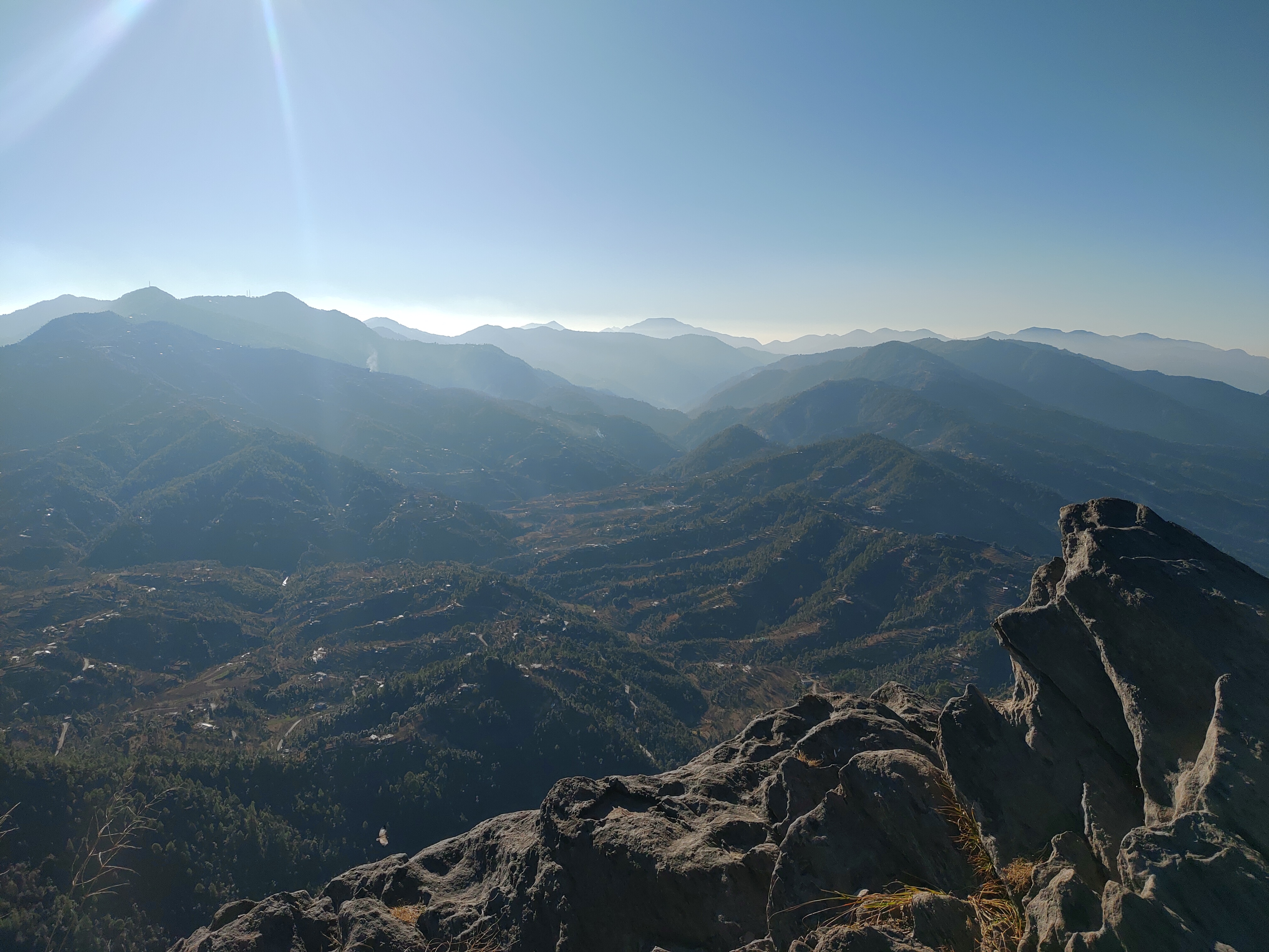
Four lakes sit within about 25 km of each other in Nainital district, all at roughly the same altitude, all in the same belt of pine and oak. Together they make the easiest short trip in Kumaon.
Nainital
The best known, at 1,938 m, built around Naini Lake with the town climbing the ridges on both sides. Boats on the lake, the Naina Devi temple at Mallital, a ropeway to Snow View, and the Naina Peak trek. It is also the busiest; in May and June it is very crowded.
Bhimtal
22 km east of Nainital and 1,370 m up, Bhimtal has the largest lake by surface area in Kumaon — 47.8 hectares. There is an island in the middle with the Bhimeshwar Mahadev temple on it, reached by boat. Quieter than Nainital and a good base.
Naukuchiatal
"Naukuchiatal" means "lake of nine corners". It is the deepest lake in the Nainital region at around 40 m, 1,220 m above sea level, and the most peaceful of the four. Paragliding, boating and a small annual music festival happen here.
Sattal
"Sattal" means "seven lakes" — an interconnected group of seven freshwater lakes near Bhimtal, set among oak and pine at 1,370 m. It is one of the least polluted freshwater biomes in India and a good spot for migratory birds. There are camps and a few guesthouses.
Doing it
Base yourself at Bhimtal or Naukuchiatal and do the others as day trips. The road between them is short and scenic. Kathgodam, 21 km from Bhimtal, is the nearest railway station; Haldwani, 30 km away, is the road gateway.
When to go
March to June and September to November. The monsoon is green but wet, and the winter is cold with occasional snow at Nainital.
Sources & further reading
Compiled from the following public sources. Verify details with the source before relying on them for travel.
- Bhimtal — Wikipedia
- Naukuchiatal — Wikipedia
- Sattal — Wikipedia
- Nainital — Wikipedia
- Uttarakhand Tourism
Lead photograph: Wikimedia Commons